By Dara Kelly - Irish Central
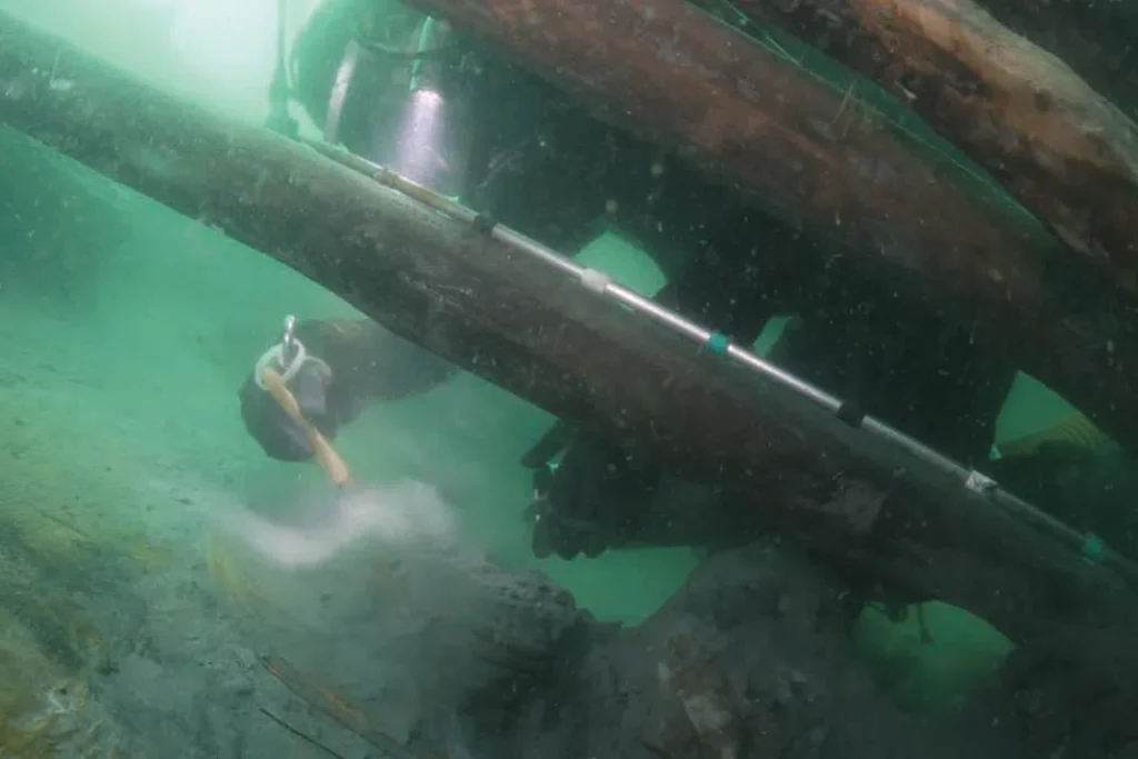
Following a 12 years survey of the offshore waters and coastal seas around Ireland, carried out by Geological Survey of Ireland (GSI) and the Marine Institute, the Irish government has launched an illustrated book entitled “Warships, U-Boats & Liners - A Guide to Shipwrecks Mapped in Irish Waters”.
The coffee table book, 12 years in the making, features stunning shots of wrecks on the seabed including the Lusitania off the Cork coast and US army tanks on the seabed 17 miles off Donegal.
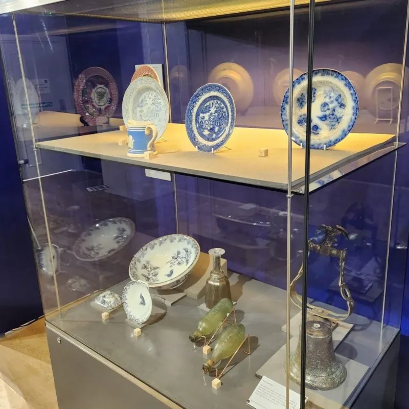
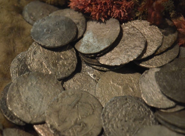
Many of the 300 shipwrecks featured in the book where not know about before this survey. The book includes details on the background of the vessels, the loss of like alongside the photograph and sonar images.
Earlier this week the publication was launched by Minister for Arts, Heritage and the Gaeltacht, Jimmy Deenihan, TD together with Fergus O'Dowd TD, Minister of State, Department of Communications, Energy and Natural Resources.
The book is the result of collaboration between Geological Survey of Ireland (GSI) and the Marine Institute and the Department of Arts, Heritage and the Gaeltacht's Underwater Archaeology Unit (UAU), part of the National Monuments Service.