By Aaron Gouveia - Cape Cod Times
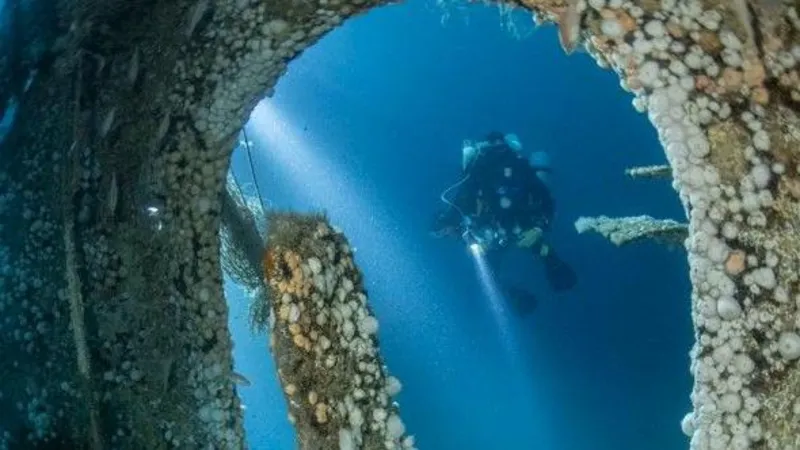
Imagine swimming through the wreckage of the RMS Titanic, peeking in portholes and seeing artifacts from nearly 100 years ago sitting at the bottom of the Atlantic Ocean.
And you don't even have to get wet.
Creating that scenario is the goal of a group of scientists, including researchers from the Woods Hole Oceanographic Institution, who leave today on a 20-day expedition. They will use the latest in sonar technologies, acoustic imaging and high resolution video to create a virtual 3-D map of the Titanic wreck site that will eventually be accessible online.
"It's revolutionary in that we'll be using new technology to create the first archaeological site map of the Titanic," said David Gallo, WHOI's director of special operations.
The project is being led and funded by RMS Titanic Inc., the company with salvage rights to the Titanic and the wreck site.
Scientists at the oceanographic institution originally found the Titanic two miles beneath the ocean's surface in 1985. But 25 years later, the improvement in underwater technology is staggering, Gallo said.
Using a combination of remotely operated and autonomous underwater vehicles, Gallo said advanced sonar will scan the ocean floor around the crash site while a combination of acoustic imaging and WHOI-made 3-D high definition cameras record the area.
REMUS (Remote Environmental Measuring UnitS), a torpedo-shaped autonomous vehicle that travels in predetermined patterns to collect data, was also developed at WHOI and will be one of the mission's main tools.
The end result, said Gallo, will be merging all the different technologies to form a mosaic virtual map that will provide the clearest, most precise images of Titanic ever recorded.
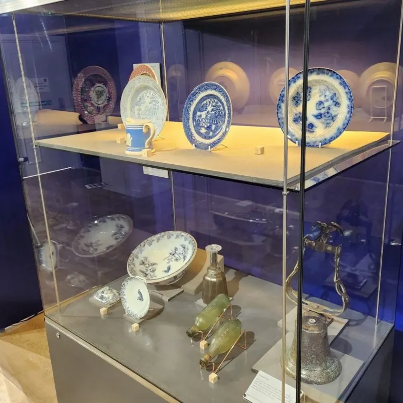
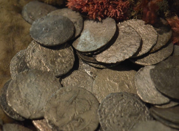
Titanic, which is split on the ocean floor, has been visited in the past to retrieve artifacts, but Gallo said half of the crash site has never been explored. The best part, he said, is that it is not just scientists who will see it all first-hand.
"Not only will we see a lot of things we've never seen before, but down the road the public will be able to explore for themselves," Gallo said. "No more looking over James Cameron's shoulder."
In addition to creating a boundary map and charting the exact physical position of the ship, researchers will also document artifacts found within the Titanic and, with luck, gain new insights into the details of the sinking after the massive vessel struck an iceberg on April 15, 1912.
Scientists will also examine the structural integrity of the fragile iron ship, which has been eaten away by microbes. The microorganism samples could potentially allow researchers to better understand the process of so-called biodeterioration and give scientists an idea of how long the Titanic will remain intact.
Gallo said there is little doubt the wreck has been beneficial to sea life, but this trip will allow all the animals residing in and around the Titanic to be catalogued.