From US Politics Today
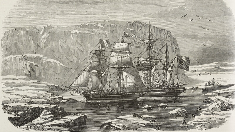
The Honourable Peter Kent, Minister of Environment and Minister responsible for Parks Canada, today gave an update on this summer's Arctic archaeological survey led by Parks Canada's Underwater Archaeology Service to find the ill-fated 1845-1846 Franklin Expedition vessels: HMS Erebus and HMS Terror.
"The search for the lost Franklin vessels continues, but I can unequivocally say that this year's survey was by far our most successful one to date," said Minister Kent.
"I would like to congratulate all our amazing partners who were part of this Canadian-led research team.
They reached new heights with this project, and I look forward to seeing what new possibilities open up in time for next year's continued search."
This year, the search team ruled out more than 400 square kilometres in Canada's vast Arctic waters, almost tripling the coverage of past field seasons and further narrowing the search for the elusive wrecks of the Franklin Expedition.
With almost four weeks spent in the Arctic, the team employed a multitude of scientific data that will also greatly benefit Canada's understanding and knowledge of the Arctic.
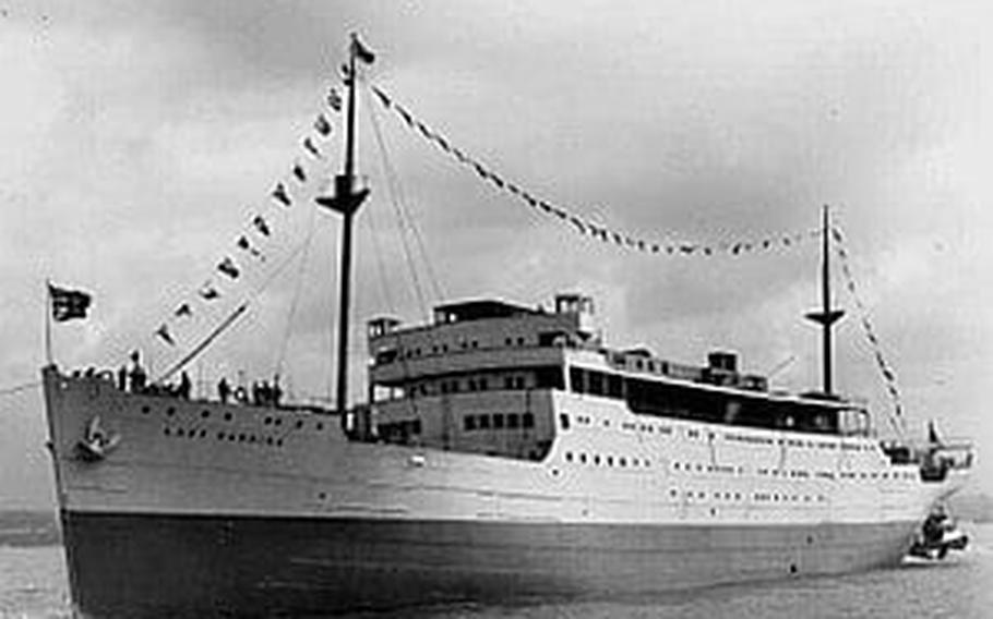
Working from both the research vessel, Martin Bergmann, supplied by the Arctic Research Foundation, and Canadian Coast Guard Ship Sir Wilfrid Laurier, the survey time was significantly extended compared to previous years.
In addition to Parks Canada's underwater archaeologists searching for the Franklin vessels, the broader project team included the Arctic Charting and Mapping Pilot Project, led by the Department of Fisheries and Oceans' Canadian Hydrographic Service. This project allowed for the collection of data for the production of official navigational charts in the Arctic, while supporting, marine archaeology and eco-system management objectives.
The combined sea bed surveys led by Canadian Hydrographic Service, working closely with Parks Canada and the University of Victoria, covered 424.3 square kilometres.
The survey vessels travelled a total line distance of more than 4200 kilometres; essentially covering the distance of almost two-thirds of Canada.
The survey also included the use of Light Detection and Ranging (LiDAR) technology, again contracted through the Canadian Hydrographic Service, offering an additional 879 square kilometres of bathymetry records for more shallow areas, providing crucial depth information for conducting this survey work in uncharted waters.