By Bernd - Global Adventures
Researchers from the Woods Hole Oceanographic Institution (WHOI) have joined a team of scientists from the National Oceanic and Atmospheric Administration (NOOA) to search the Graveyard of the Atlantic for the remains of German U-boats and the ships they did send to the seafloor.
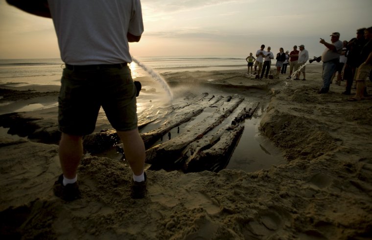
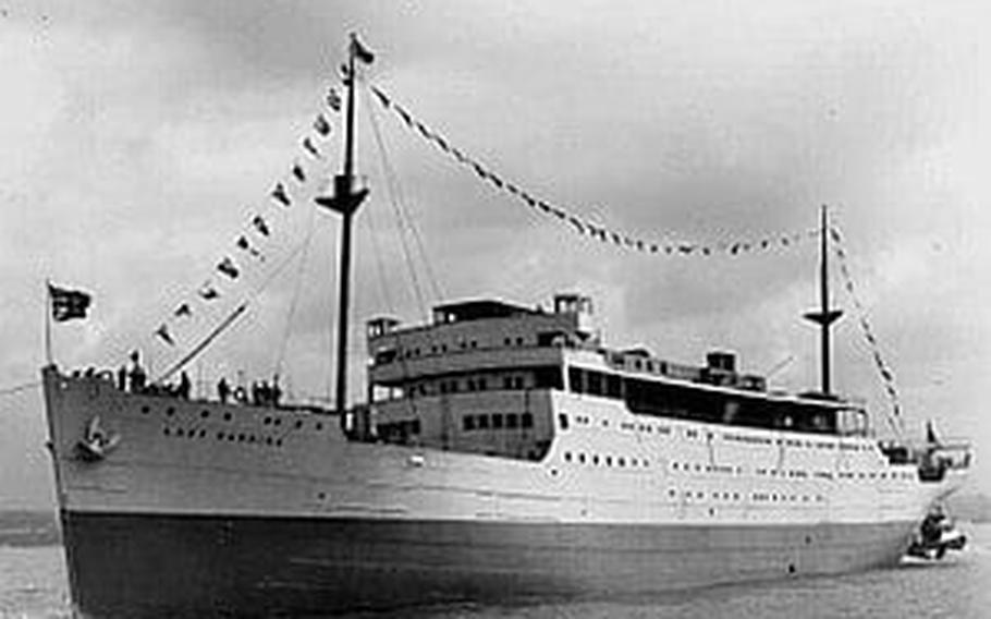
The waters off the coast of North Carolina were the site of a devastating period for the United States during World War II. Dozens of ships, mostly merchant vessels, were sunk during this time period by German submarines.
Today, the remains of those ships, along with several U-boats, rest at the bottom of the Atlantic. NOAA estimates that more than 50 vessels were lost to U-Boat assaults from January to August 1942 alone.
“They sank ships at will,” says Evan Kovacs, director of 3D photography for WHOI’s Advanced Imaging and Visualization Lab (AIVL), which is embarking on a 10-day mission to provide NOAA with the first 3-D optical survey of the undersea wrecks off the Carolina coast.
“We hope to get a full 3-D picture of several sites so that NOAA can go back and assess the wrecks’ condition and the impact of the ships on the marine environment. We’re breaking new ground.”
The mission, currently in progress aboard the NOAA vessel SRVx, employs a remotely operated vehicle (ROV) outfitted with several underwater 3-D and high-definition camera systems developed by Lange and Kovacs. Over the course of the survey, the ROV pilot will work closely with technical dive teams in surveying the wrecks previously identified by the side scan sonar survey.
The NOAA, National Park Service (NPS) and WHOI teams expect to conduct these optical surveys and close up inspection task on targets as deep as 500-600 feet.
The dive teams will utilize AIVL’s smaller diver-operated underwater 3D and 2D imaging systems in order to acquire imagery that would be difficult for the ROV to accomplish.
“This is our first large-scale marine archeology program with NOAA,” said AIVL Director Bill Lange. “We hope it will be the first of many such cooperative programs.”
Lange and his team have been conducting similar marine archeology programs with the National Park Service and State agencies over the last 5-6 years.
The WHOI survey and mapping effort is the most detailed phase of the project, which is coordinated by NOAA’s Monitor National Marine Sanctuary.
Previous stages utilized a sonar system to provide a wide-area remote-sensing survey to give researchers a 'big picture' or birds-eye-view of the battlefield area. NOAA then employed a multi-beam sonar system to “zoom in” on some of the wrecks for a closer look.
.JPG)